Drone Surveys For Your Every Need
We serve real estate, civil infrastructure, topographical survey, contour mapping, GIS survey, orthophoto genration, precision agriculture, disaster management, and number of others, you just name.
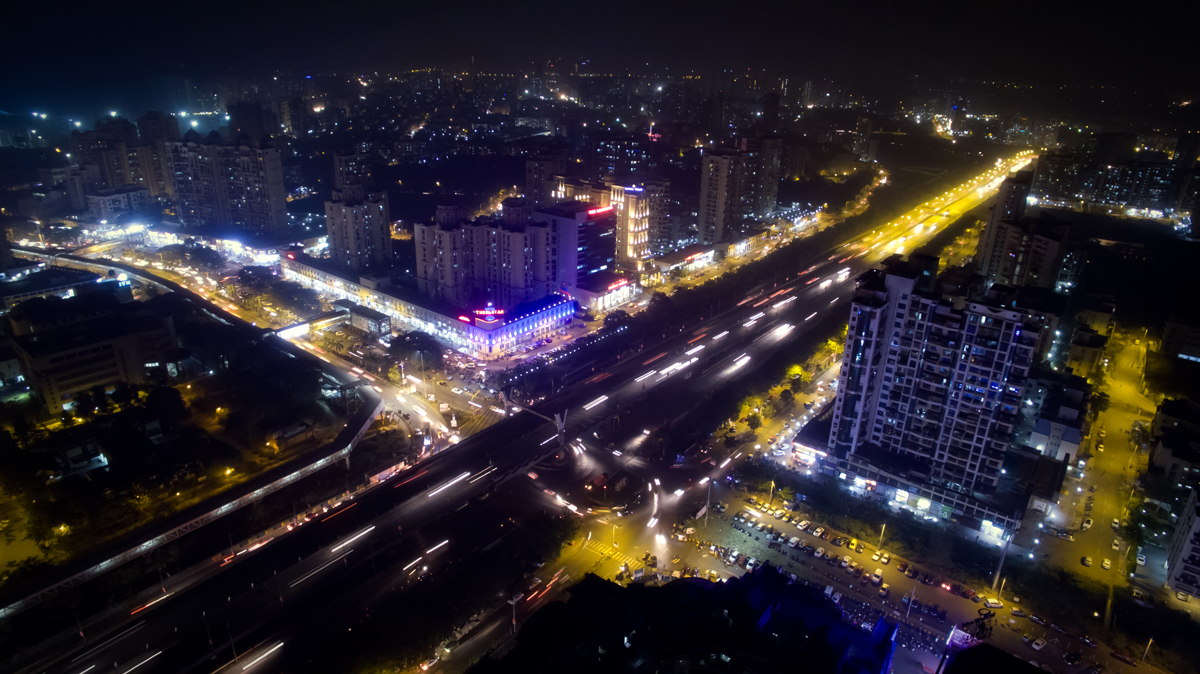
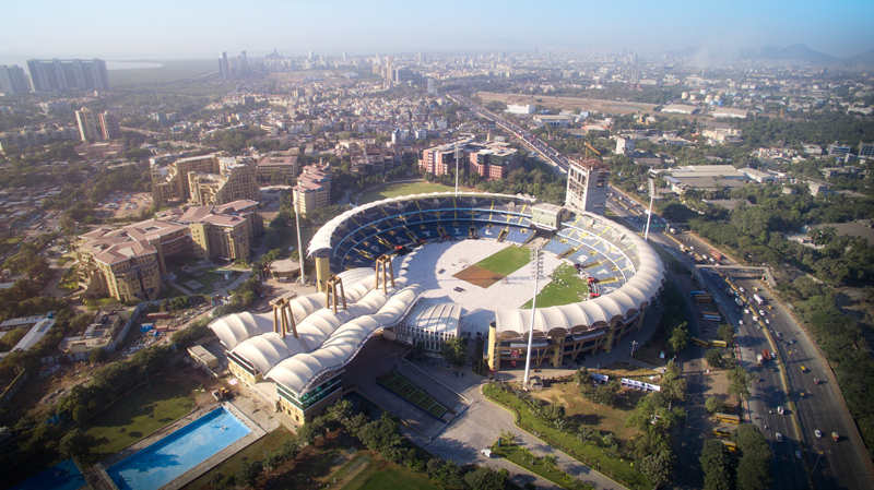
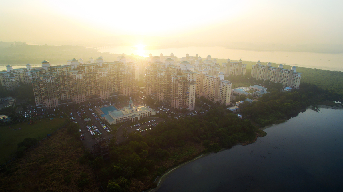
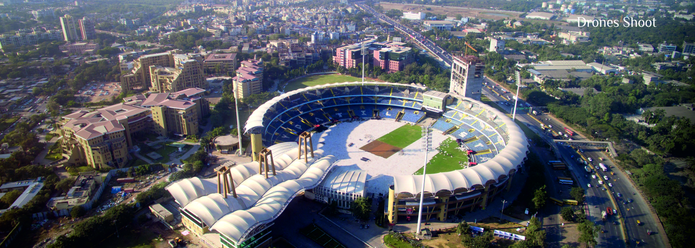
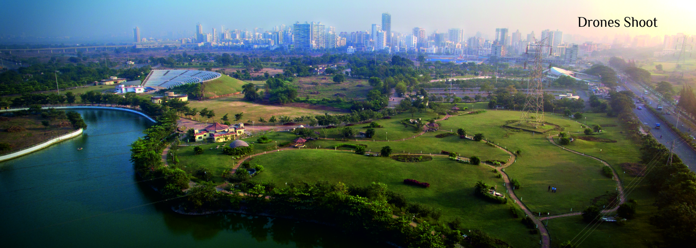
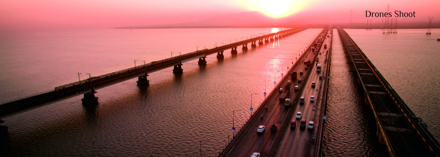
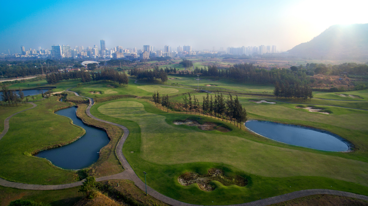
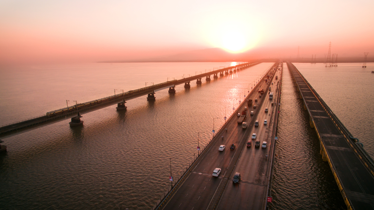
Drone/Aerial Photography
Aerial photography has now become an essential feature of a corporate film. An aerial shot enhances and gives the bird's eye perspective of your organisation. We will capture stunning images that will help you stand out.
Drone Cinematography
We closely work to understand your challenges and provide you solution with our well-planned, quick, and accurate drone service. Our experienced drone pilots understand the camera angle and capture the footage's that help you take your project to next level.
Drone Survey
Drone surveys are performed to create 3D models out of overlapping photos captured by drone. But these models are not ordinary, they contain real measurements and GPS coordinates of the location. We serve real estate, civil infrastructure, 360 panorama, topographical survey, contour mapping, GIS survey, orthophoto generation, LiDAR surveys, precision agriculture, disaster management, and number of others, you just name it.
Professional Drone Service
We are professional drone service providers helping businesses with aerial photography and videography at competitive prices in less time.
SILVER
1 Min Location Video
( inclusion )
- Drone Shoot
- Royalty Free Music
- Editing
- Basic Map Animation
- 5 Images [ Top View ]
GOLD
1 Min Location Video
( inclusion )
- Drone Shoot
- Royalty Free Music
- Editing
- Ground Level Shoot
- Map Animation
- 5 Images [ Top View ]
PLATINUM
1-2 Min Location Video
( inclusion )
- Conceptualization
- Drone Shoot
- Scripting
- Voice Over
- Stock Music
- Ground Level Shoot
- Map Animation
- Editing
- 10 Images
- Shoot By Senior Cinematographer